What's new?
Vlucht in beeld is a beta product that is still growing fast. The newest things are at the top. Missing something, or is something not working? Email info@processware.nl.
- 💡 And there was lightUntil now, night in 3D was equally dark everywhere except at the airports. Now the street lights come on in towns and villages. Up close they line the streets, with a warm pool of light on the pavement; from higher up the streets become ribbons of light, until you are about 9 kilometres up. Fly higher still and you see the glow of the cities themselves, from NASA's real satellite image of the Earth at night (Black Marble). To be fair: we don't know exactly where the street lights are, because there is no national register of them. We place them every 30-odd metres along municipal streets with house numbers in built-up areas, from the National Road Database of Rijkswaterstaat (PDOK). So a polder road with the odd farm stays dark, a residential area does not. The picture is right in broad strokes, but the lamp outside your own door may in reality stand a little further along. The street lights are only in the Netherlands and come on at dusk. The first time you visit a place it takes a moment for them to appear; after that it is quick.
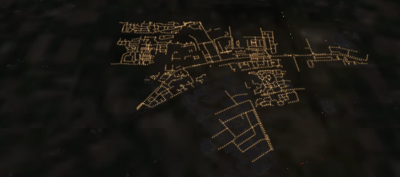
Emmeloord at night from about 3.5 kilometres up: the street lights along the streets of the residential areas. - 🚧 Accidents and traffic jams on the road, with the trauma helicopterThe map has a new layer 🚧 Road traffic (NDW), and 3D has a traffic checkbox. It shows accidents, traffic jams and stationary vehicles on the road, refreshed every minute from the open data of the Dutch National Road Traffic Data Portal (NDW). An accident is a red exclamation mark with how long ago it was reported, a traffic jam a red line along the road (orange for slow traffic) with its length. And then the link: when a helicopter flies low or is on the ground within 3 km of an accident, you see it straight away in the list and on the aircraft, with the nearby traffic jam, for example 'Low near an accident 0.9 km away, reported 12 min ago · traffic jam 3.7 km'. Note: this is a match on distance and altitude, not a confirmation that the helicopter is there for that accident. The NDW reports are unverified, and the kind of accident is usually not given. Accidents and jams now also show the road (e.g. A16), a helicopter near an accident goes into the logbook with the location, and in 3D the matrix signs hang above the motorway as they are at that moment: red crosses, speed limits with or without a red ring, arrows and the end of the restriction. Also new in 3D is the 🚗 cars checkbox: simulated traffic on motorways and provincial roads, anywhere in the Netherlands you take the camera. Which car drives where is made up, but how many there are, how fast they go and how big they are (car, bus, lorry) comes from the NDW road sensors every minute. When there is a traffic jam, the cars in 3D stand still too.
- ✈ Six cockpits, and switching with the C keyThe cockpit in 3D is no longer always a 737-800. There are now six: the Boeing 737-800, the Airbus A320 (for all Airbuses and the A220), the Boeing 777 (also for the 747, 767, 787 and MD-11), the Embraer E190 (all Embraers), the Bombardier CRJ700 (the CRJs) and the Eurocopter EC135 for all helicopters, military ones included. The top of the screen always says which cockpit it is, and whether it is the aircraft's own. The new cockpits come from the free flight simulator FlightGear (GPL), converted by us: the live displays sit on the model's screens, and the thrust levers, yoke, flap and gear levers move along (estimated), and in the helicopter the instruments, the cyclic and the collective too. The creators are credited on screen and on the models page, where you can now look around in every cockpit. When following an aircraft, the C key switches between outside and the cockpit, and the map has a ✈ Cockpit button for every aircraft with a cockpit.
- ✈ Take a seat in the cockpit (work in progress)In 3D there is now a ✈ Cockpit button. It puts you in the captain's seat of an airliner or freighter, flying along live. The displays work: the PFD with artificial horizon, speed and altitude, the ND with heading and the traffic around you, the engine displays, and the selected heading and altitude in the autopilot panel. Altitude, speed, heading, the autopilot modes and the transponder code are real, as the aircraft broadcasts them. Engine power, thrust levers, yoke and flaps are not broadcast; we estimate them from the phase of flight, and the screen says so. You can click through the FMC (progress, route and aircraft), use the COM1 radio to switch the simulated tower radio on or off, and you hear the engines, the wind, the runway, the landing gear and, on landing, the altitude callouts. Look around by dragging, zoom with the scroll wheel or by pinching on your phone, and double-click to reset the view. The 📺 TV now includes the cockpit too: every other time you see a landing entirely from the cockpit, until the aircraft has slowed down, or a take-off into the climb. To be fair: the interior is a Boeing 737-800 for every aircraft, even when you are in an Airbus; the screen says so. The 3D model is by hakai315 on Sketchfab (CC BY 4.0), adapted by us. It is still under construction: the panel lettering will get sharper, and other cockpits will follow later.
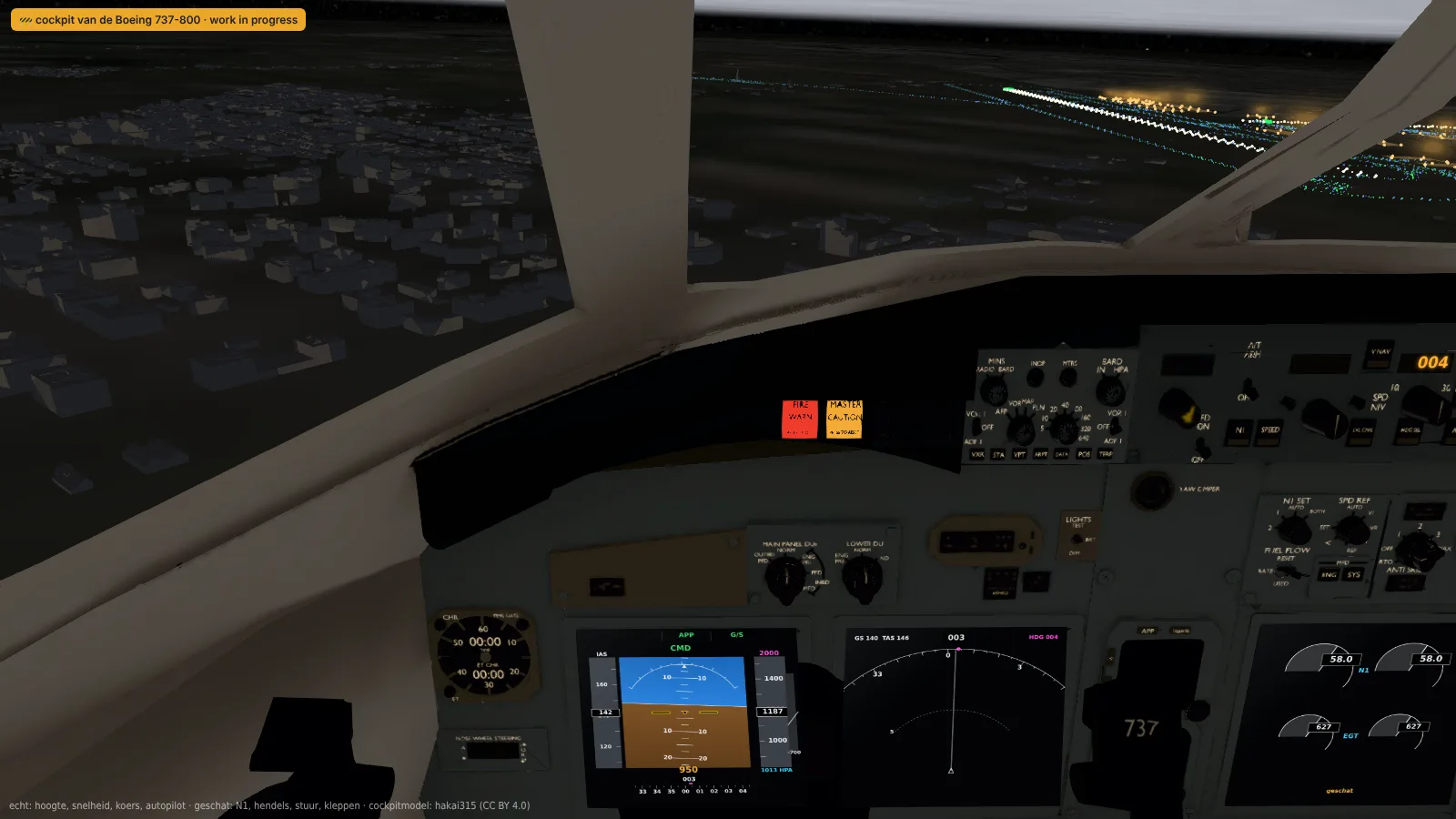
On final at night from the cockpit: PFD, ND and the engine displays with live data, the runway lights outside. 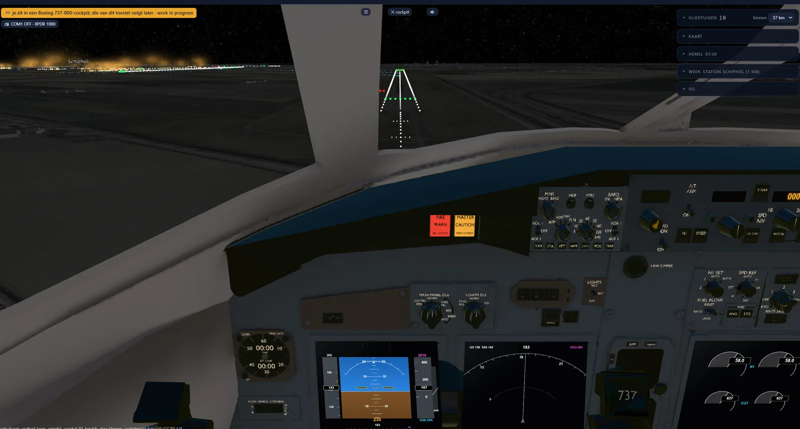
On final for Schiphol: the approach lights and the threshold straight ahead, the apron at night on the left. - More conversation on the tower radioUntil now the simulated tower radio said four things: cleared for take-off, contact Departure, cleared to land and contact Ground. A lot has been added, and all of it follows what is really happening. An aircraft on approach now checks in first ("Schiphol Tower, K L M one two three, established ILS runway one eight right") and the tower lets it continue, with a sequence number if someone is still ahead. When an aircraft is waiting at the runway threshold, the pilot reports ready and the tower clears it to line up, and if someone is on short final: "behind the landing Boeing, line up and wait, behind". If an aircraft lands shortly after a heavy on the same runway, the tower warns for wake turbulence. After landing the tower sends the aircraft off the runway via the taxiway it is actually at ("vacate via victor four"), or with urgency when someone is already coming in. Greetings, wind and the order of the phrases vary per aircraft, so it doesn't sound the same every time.
- 📺 Nothing on TV? Put Schiphol onNothing on TV and no desire to drive to Schiphol? In 3D there is now a 📺 TV button. Click it, sit back and the camera does the rest: it switches by itself between landings, take-offs, taxiing aircraft and pushbacks, as ticked under the tower at 'follow by itself', and keeps picking whatever is most exciting at that moment. A landing comes in alternately from the left and the right, with a close-up on the thrust reversers and the roll-out to the exit; a take-off is followed into the climb. All live, with real flight data and our own 3D models. In the evening it is night by itself, with the runway and apron lighting. The side panel stays, so you can see what is flying; the button bar appears as soon as you move the mouse, and Esc switches the TV off again. Works on every 3D page, best from a control tower.
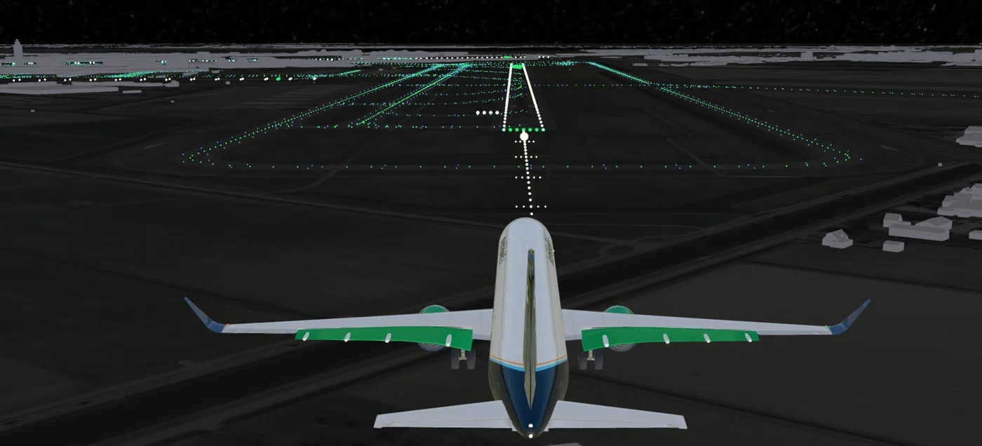
A landing in TV mode: the camera swings from the side to straight behind the aircraft. 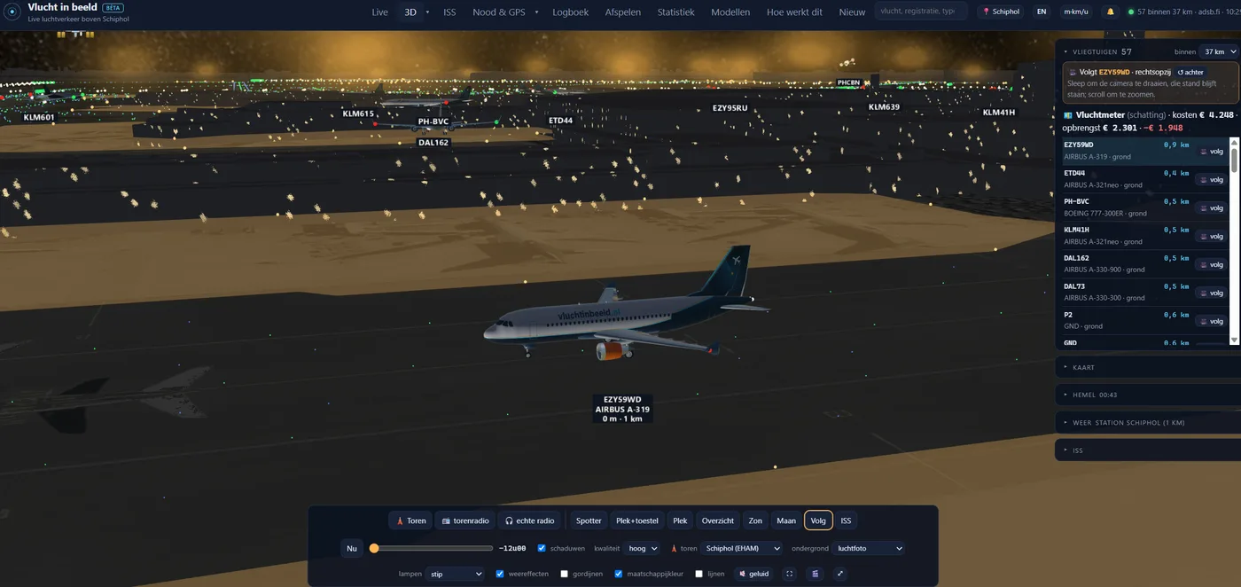
Night by itself in the evening: an A319 on the apron at Schiphol, with the glow of the floodlights and the side panel that stays. - An airport at night, the way it really looksNight in 3D has had a big overhaul. Buildings are now genuinely dark at night, with the odd lit window. The taxiways of the tower airfields have green centreline lights and blue edge lights (from OpenStreetMap), and above the aprons hangs the yellow glow of the floodlights; from afar the small lights fade out, as they do in reality. The runway lighting follows the landing direction: over the last 600 metres the edge lights are yellow, and on the large runways the centreline alternates red and white over the last 900 metres and is all red over the last 300. Aircraft are no longer lit at night as if the sun were shining, and on approach you can see the beam of the landing lights ahead of the aircraft.
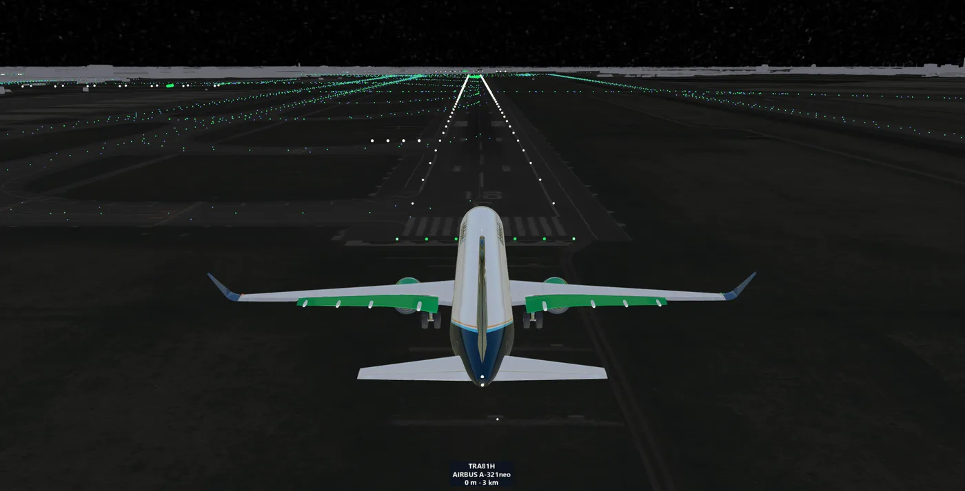
On final at night: approach lighting, the green threshold and the runway edge lights. 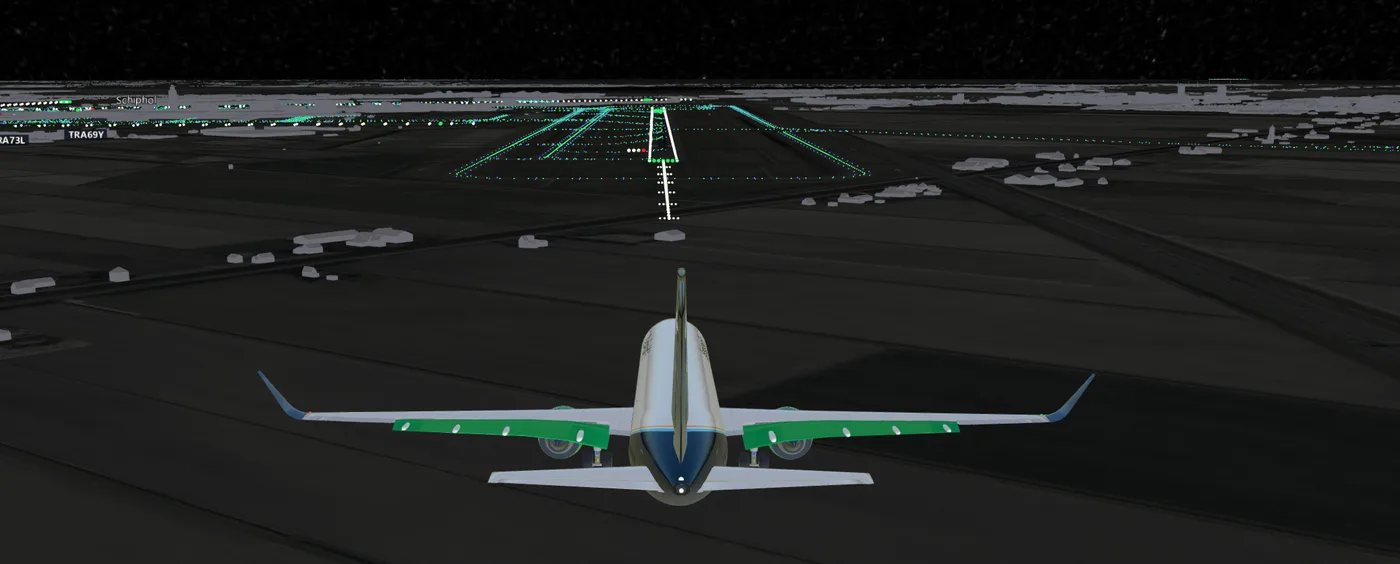
From behind on final: the green taxiway lights and blue edge lights across the whole field. - Turning wheels, and a puff of smoke on touchdownIn 3D the wheels of our own aircraft models now roll along with the ground speed, and spin down within a few seconds after take-off. When an aircraft touches down, the wheels spin up in one go and the rubber leaves a puff of smoke where the main wheels hit the runway. Whether and when an aircraft lands is derived from what it broadcasts itself (airborne or on the ground); the smoke itself is of course simulated. On the large aircraft with a bogie of four or six wheels per leg, only the nose wheel turns for now.
- See or hear something that isn't on the map? Report itFighter jets and other military aircraft often don't broadcast their position; then no receiver can see them and they aren't shown here either. Under the live map there is now the button 👀 I see or hear something that isn't on the map. You choose what it was, whether you saw or heard it, how many, when and where you were. The report is then shown on the map for an hour as a dashed circle with a question mark: a report by a visitor, not a measurement. If more people report something around the same time and place, the circle becomes solid. All reports of the last 30 days are under Nood & GPS. How it works explains why fighter jets are sometimes missing. The place is stored rounded to about one kilometre, without an IP address.
- Watch from nine control towersUnder 3D there is now a ▾ menu with the control towers: Schiphol, Lelystad, Eindhoven, Rotterdam, Eelde, Maastricht, Gilze-Rijen, Leeuwarden and Volkel. You stand at the controllers' eye height and watch the real traffic. Most tower positions were measured in the national elevation dataset (AHN) and checked on the aerial photo; where the controllers' floor height isn't known, it is marked with ≈. At Leeuwarden and Volkel we couldn't find the tower: there you stand in the middle of the airfield, at an estimated 30 metres. The simulated tower radio now also talks outside the tower pages, about the aircraft you follow, as soon as it lands on or takes off from a runway. And at Eindhoven, Rotterdam, Eelde and Maastricht the button for the real radio (LiveATC) picks the channel for the followed aircraft's runway by itself, as it already did at Schiphol. Whether those receivers are on air at that moment is up to LiveATC.
- Flight meter, emergency codes, GPS interference and runways in useAircraft with a route now get a running flight meter: a rough estimate of what the flight has cost and earned so far, from fuel and crew to tickets and cargo (how it is calculated is explained on How it works). /noodcodes lists aircraft that squawked 7700 (emergency) or 7600 (radio failure), and aircraft that returned or diverted to a different airfield than their route says. /gps-storing shows per day where aircraft reported an inaccurate GPS position, a sign of interference. An airport's live page shows which runways were used in the past hour, derived from what we see ourselves. There are three new notification rules: an aircraft that is going to pass over your place on its current heading, an emergency code nearby, and a daily summary. Also: the engines and flaps of the 3D aircraft carry the airline's colour, the aircraft on the 2D map have the silhouette of their own 3D model, the m·km/u button switches to feet and knots, and small, slow aircraft such as a Cessna no longer sway back and forth in 3D.
- World map with every satellite around the EarthThe ISS page has a world map with every active satellite around the Earth, many thousands of them. The well-known ones get their own colour and orbit: the ISS and the Chinese station Tiangong with their spacecraft, the Hubble telescope, Earth observation satellites such as Sentinel, Landsat, Terra and Aqua, weather satellites such as MetOp and Meteosat, and NASA's TDRS relay satellites. The rest can be switched on or off per group: Starlink, OneWeb, navigation (GPS, Galileo and the others), geostationary and other. Every satellite can be clicked: you see what it does, how high and fast it flies, how many times a day it circles the Earth and where it is heading. For Earth observation and weather satellites, a button opens their own free imagery (Copernicus, NASA Worldview, EUMETSAT) at the spot it is passing over right now. The map can also go full screen. We compute the orbits ourselves from CelesTrak's public orbital elements.
- Helicopters: over which town?A helicopter now shows, next to its name, which town it is hovering over, in 3D, in the list and in the pop-up on the map: 'over Utrecht'. Handy for a police or air ambulance helicopter circling above a city for minutes on end; on the aerial photo you couldn't tell which one. The place name comes from PDOK's Locatieserver (only over the Netherlands).
- Fly along with the ISS, and get a heads-up when you can see itAt /3d/iss the 3D view opens straight behind the International Space Station, wherever it is above the Earth. With the 🔔 button in the ISS panel you get a push notification about ten minutes before the ISS is visible to the naked eye over your place: in sunlight, while it is already dark where you are, and at least 15 degrees above the horizon. That works anywhere in the world; your place is stored rounded to about 10 km. It is also available as a tick box in a place's regular notifications.
- Tower radio: hear the controller (simulated)In the Schiphol control tower there is a 📻 tower radio button. You then hear the controller and the pilots talking, in step with what you see: when an aircraft is about to roll on the Polderbaan, it gets its take-off clearance ('KLM seven five niner, runway three six left, cleared for take-off') and the pilot reads it back; on short final comes the landing clearance, after the rollout 'contact Ground' and after take-off 'contact Departure'. It is simulated, using your own browser's computer voices, based on the aircraft's real movements and the real weather; it is not a recording of real air traffic control. The controller always has the same voice, and every pilot has their own voice and pitch. What is said is also shown as text.
- Listen in to air traffic control, in sync with the pictureIn the control tower you can now choose a channel (at Schiphol the tower of one of the runways, or approach) and press 🎧 listen in. LiveATC.net's player then opens in a new tab; press play there and leave that tab open. Such a broadcast runs tens of seconds behind reality, which is why you can make the 3D view lag just as far behind: with the 'delay picture' slider you sync it up by ear. When you hear 'cleared for take-off', the aircraft should start rolling at that moment. The setting is remembered per tower; outside the tower everything is simply live again.
- Tower: choose what to follow, and hear the aircraftIn the control tower you now choose for yourself what the tower follows on its own: landings, take-offs, taxiing aircraft or a pushback from the gate, individually or in combination. A landing or take-off always takes priority. The tower leaves out aircraft more than 15 kilometres away; in real life you can't see those any more either. And there is sound, with the 🔇 sound button at the bottom (also outside the tower). It is simulated, not a recording, but it is genuinely calculated from the camera's position: louder up close, a take-off louder than a landing, mostly rumbling from far away, at a distance the sound arrives later than you see the aircraft, and the pitch drops once it has passed. Taxiing aircraft also move more smoothly: no more stopping and then lurching forward, but a few seconds delayed and calmly between the measured points.
- Watch live from the control towerNew in 3D: stand in the control tower at Schiphol or Lelystad Airport and watch the real traffic. The camera is placed where the tower is and at the height where the controllers sit: about 90 metres at Schiphol, 22 metres at Lelystad, as the airports themselves state. The position of the Schiphol tower was measured in the Actueel Hoogtebestand Nederland (the national elevation dataset), in which it comes out neatly at its 101 metres. The tower building itself is left out while you are inside it, otherwise you would be looking at the walls of your own tower. By itself the tower follows its own traffic: the aircraft taxiing closest on the airfield or landing or taking off just above it. Dragging looks around, scrolling or pinching is the binoculars, and clicking an aircraft follows that aircraft. The link can be shared, for example vluchtinbeeld.nl/boven/schiphol/toren, and is also on the page of both airports. What you see is a reconstructed world with the real positions of the aircraft, not camera footage from the tower.
- The runways light up at nightThe aircraft already had their lights; now the airports have them too. As soon as the sun has set, the runways appear in 3D as they look in real life: white edge lights along both sides, a green row across the threshold, to the left of it the PAPI — the four lights that tell a pilot whether they are on the correct glide path — and in front of the threshold the approach lighting, a row running almost a kilometre out from the airfield with crossbars and a white flash that races towards the runway. The approach lighting, the flash and the PAPI are, just as in reality, only lit at the end where aircraft are landing. An airport doesn't broadcast which end that is, but the traffic gives it away: if an aircraft is low on the extended centreline with its nose towards the runway, that end is switched on, until ten minutes after the last landing. If you follow an aircraft on final at night, you now fly straight towards it. The PAPI really calculates: from the camera's position you see two white and two red if you are exactly on the three-degree glide path, all white if you are too high and all red if you are too low. From the side or from behind, for example from the tower, you can't see it, just as in reality. Where the threshold is displaced some way along the runway, such as on Schiphol's 36C, the threshold and PAPI are there too. All lit runways within 120 kilometres take part, so from anywhere in the Netherlands you can see the airfields all around: near Emmeloord that is nineteen runways at twelve airfields. The runways come from OurAirports, the same public project our airport names come from.
- Looking for something special: filter on the map and in the listOver the Netherlands there are easily a hundred aircraft at once, and most of them are the 737s and A320s that pass over here all day. Next to the radius there is now a 'show' option. If you set it to 'special', that everyday airline fleet disappears from the list and from the map, leaving what is worth watching: a 747 or an MD-11, propeller aircraft, business jets, military traffic, helicopters and light aircraft. There are also separate options for military, helicopters and light & sport. The list for the whole Netherlands can also be expanded fully, instead of the first thirty followed by 'and so many more aircraft'.
- On the ground the aircraft were tilted and too highAnyone following a landing in 3D saw the aircraft after touchdown still floating some forty metres above the runway until the ground signal came in, and then sometimes rolling along the runway with its nose tilted up. Both fixed. The altitude went wrong because GPS altitude and the ground elevation in the scene are two different measures whenever no elevation model is loaded; the site now converts neatly between them. The tilt was because nose-up or nose-down is derived from the vertical speed against the ground speed — on the ground the measured altitude fluctuates while the aircraft is only moving at twenty knots, and a climb angle of forty-five degrees gets calculated from that. On the ground the aircraft now simply sits level. Fixed at the same time: a taxiing aircraft would slide tens of metres onto the grass between two measurements, because it was extrapolated with its last known speed while in reality it had already stopped for a crossing. Below sixty knots we no longer extrapolate, and it stays on the taxiway.
- Model creators credited againFor special types — military aircraft, police and air ambulance helicopters — we use models by creators on Sketchfab, under a CC BY licence. That licence requires attribution, and rightly so. Each model on the models page now shows whether it is our own or who made it, with a link to the original, and 'How it works' has the complete list together.
- Gear down, flaps downAn aircraft on approach now lowers its landing gear and extends its flaps in 3D, and after take-off it retracts the gear again. The gear comes down below about 600 metres, and the flaps go down in stages as the aircraft slows. Note: ADS-B doesn't transmit this. No aircraft reports whether its gear is down or what position its flaps are in; this is an estimate from altitude, rate of descent or climb and speed, following standard procedures. So it is usually right, but not necessarily for that one aircraft that does it differently. The 737 family, the A320 family and the E-Jets already have it; the other models will follow.
- Altitudes were wrong at high air pressureAircraft broadcast their altitude relative to a fixed air pressure of 1013 hPa. When the barometer is high, as now at 1028 hPa, that pressure altitude is a good 400 feet (about 180 metres) lower than the true altitude: an aircraft on the runway then reported -100 metres and came in below ground level in 3D. The site now corrects for that: preferably with the GPS altitude the aircraft broadcasts itself, otherwise with the air pressure that low-flying aircraft pass on. As a result the aircraft, their tracks and the curtain in 3D are at the right height, and the altitude in the list and the logbook is more accurate too.
- Take a close look at the modelsUnder 'Models' in the menu you'll find all the aircraft models one by one: rotate, zoom in and, on the aircraft that already have it, lower the landing gear and extend the flaps. You can also show the lights in the positions where the site draws them at night. Handy if you want to know what a type looks like, and for us to check whether a new model is right.
- Our own aircraft models in 3D, with liveryThe aircraft in 3D have been remade: our own true-to-scale models, in our own Vlucht in beeld livery instead of plain white, and per type as far as possible instead of per family. An A321neo now looks different from an A319, and a Cessna is no longer a Hercules. Military aircraft have a military paint scheme, and a police EC135 or AW139 or an air ambulance helicopter gets the matching colours if it can be recognised by its registration or callsign. This is still a work in progress: a number of models are still being made nicer, and types without their own model get the closest-looking model for now. These are the models you'll currently come across in 3D:
Airliners
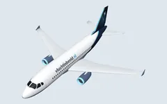
A319 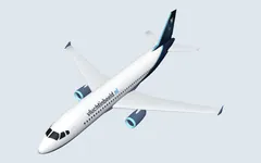
A320 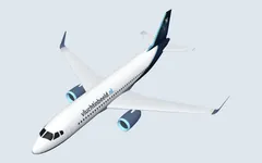
A320neo 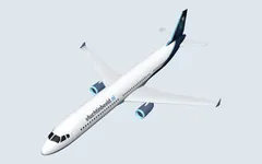
A321 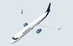
A321neo 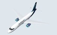
A220-100 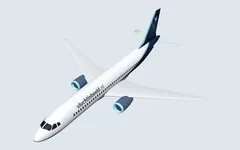
A220-300 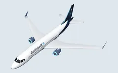
A330-200 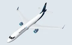
A330-300 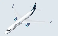
A330-900neo 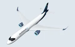
A350-900 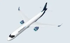
A350-1000 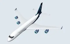
A380 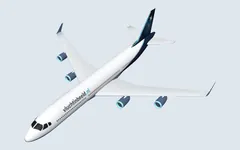
A340-300 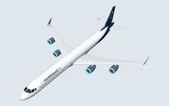
A340-600 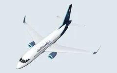
737-700 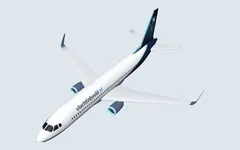
737-800 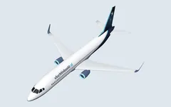
737-900 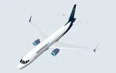
737 MAX 8 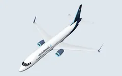
737 MAX 9 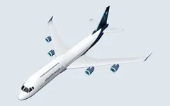
747-400 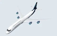
747-8 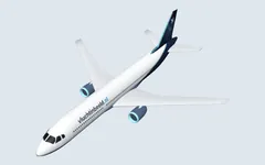
767-300 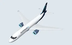
777-200ER 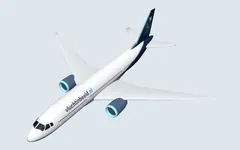
777-200LR 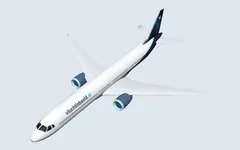
777-300ER 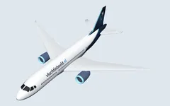
787-8 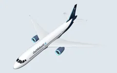
787-9 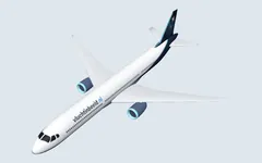
787-10 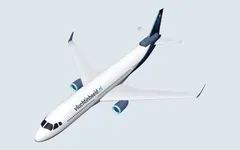
MD-11 Regional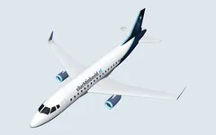
Embraer E175 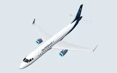
Embraer E190 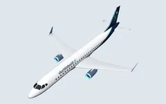
Embraer E195 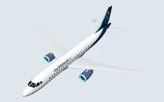
E190-E2 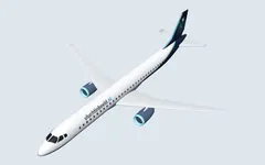
E195-E2 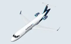
CRJ200 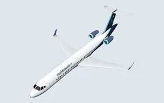
CRJ700 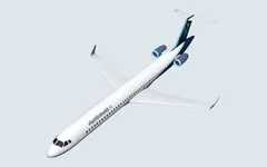
CRJ900 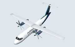
ATR 42 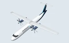
ATR 72 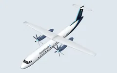
Dash 8 Q400 
Saab 2000 
BAe Jetstream 31/32 Business jets and light aircraft
Embraer Phenom 300 
Pilatus PC-24 
Challenger 650 
Global 6000 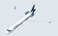
Gulfstream 
Falcon 8X 
Falcon 8X PH-UTL 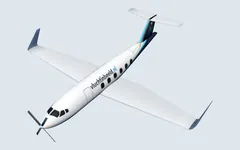
Pilatus PC-12 
King Air 90 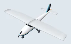
Cessna 172 
Swearingen Metro 
Stampe SV-4 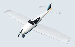
Piper PA-28 
Cessna TR182 Turbo Skylane RG 
Tecnam P2006T 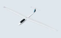
Glider 
Hot-air balloon Helicopters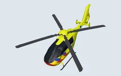
EC135 air ambulance 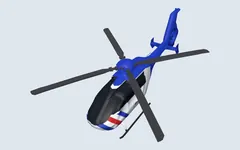
EC135 police 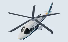
AW139 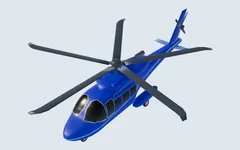
AW139 police 
Airbus H175 
H175 SAR 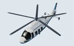
Airbus H155 / Dauphin 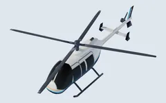
Bell 407 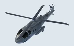
NH90 Military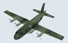
C-130 Hercules 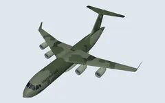
C-17 
RC-135 Rivet Joint 
KC-135 Stratotanker 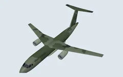
KC-390 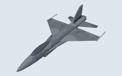
F-16 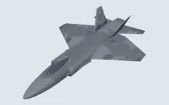
F-35 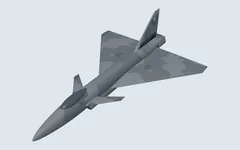
Eurofighter 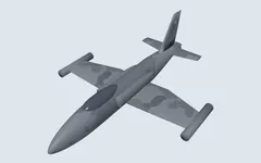
L-39 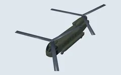
Chinook - The whole flight in 3D, with a curtain down to the groundClick or follow an aircraft in 3D and you'll see the complete flight since take-off as a light-blue line through the sky. Below it hangs a transparent curtain down to the ground, so you can see at a glance how the aircraft climbed, how long it flew at cruising altitude and where it began its descent. The track comes from OpenSky Network, the same source as the solid line on the map. If OpenSky doesn't know an aircraft, only the short track of our own remains.
- Lights in the darkAs soon as the sun has set, the aircraft in 3D get their lights: red on the left wing, green on the right and white at the back, a red light flashing above and below the fuselage, white strobes on the wingtips and, in the last two thousand feet before landing and on the runway, landing lights. From the colours you can tell which way an aircraft is flying, even in the dark. This is the lighting every aircraft carries, not a measurement per aircraft: what an individual pilot switches on or off is not broadcast by the aircraft.
- The route actually flown, from take-offClick an aircraft and you now see where it really came from: a solid line from the departure airport, exactly as it was flown — with the turns along the airways, around restricted areas and the arrival and departure routes around the airports. That data comes from OpenSky Network, a research network with receivers all over Europe. Ahead of the aircraft a dotted line to the destination remains: that part has yet to be flown, so it is an expectation, not a measurement. If OpenSky doesn't know an aircraft, you'll see the old dotted line via the aircraft. And even for a flight number whose route is wrong, you now see where the aircraft really came from.
- Start view now centres on SchipholIf you arrive without a place of your own, you still see the whole of the Netherlands, but the anchor point is now at Schiphol instead of at the geographical centre near Amersfoort. There was rarely anything there: 'closest now' would then point to an aircraft at ten kilometres above a meadow. Above Schiphol there is always something to see. Choose your own place with the 📍 button if you want to know what is flying over your house.
- The whole route on the mapThe trail behind an aircraft was only ever twenty kilometres long, because the site doesn't look further than that. Now when you click an aircraft, the whole route appears next to it as a dotted line: from the departure airfield to the destination, with a circle at both airports and a button to bring everything into view. The line follows the curvature of the Earth, so London–New York neatly passes over Greenland instead of in a straight line across the Atlantic. Note: this is the route that belongs to the flight number, not the path the aircraft actually flew — hence the dotted line next to its own solid track. If the route doesn't match where the aircraft is flying at all, you get an explanation of why instead of a line; that happens because airlines use the same flight number several times a day and the route data only knows one of them.
- Switch between aerial photo and map in 3DAt the bottom of the 3D bar you can now choose, under 'ground layer', between the aerial photo and a topographic map with place and street names. Handy when you follow an aircraft: on an aerial photo you can see the landscape, but not which village you are hovering over. The map comes from PDOK and covers the Netherlands; beyond it the satellite image stays in place. On the light map the aircraft are drawn dark, otherwise they would disappear against the white.
- Flying along far from home: a steadier pictureIf you followed an aircraft tens of kilometres from your place, the 3D buildings stood crooked and floated in the air: they are placed on the ground level of your place, and that is no longer right there. Beyond fifteen kilometres the buildings are now switched off and you keep the aerial photo, with a line on screen explaining why. And the camera no longer swings back and forth with every heading measurement: it turns along smoothly instead of in jumps.
- A calmer picture: smaller labels and softer emission squaresIn 3D every aircraft had a block with name, type, altitude and distance, and with a group of aircraft those blocks covered the aircraft themselves. Now only the name is shown by default, the aircraft you follow or click gets the full line, and labels that would overlap disappear — the closest aircraft keeps its label. The emission squares on the map also change colour smoothly and have become a lot more transparent, especially when you zoom far out.
- A backup every nightSaved places, logbooks and notifications are in one database, and it is now automatically copied every night. A short link you once created will therefore keep working, even if something goes wrong with the server.
- How special is this aircraft here?Each aircraft now shows how often you have seen this type, this airline and this particular airframe over your place before. If something passes over that has never been here before, it gets its own label — and, if you like, a notification on your phone too. You'll find it in the notifications under 'something new'.
- Replay a dayUnder 'Replay' you can watch an earlier day again at speed: the aircraft appear at the moment they came into view and move across the map. From today the site keeps the track of every sighting for a month; for older days only the point of closest approach is known, and then the aircraft stands still there.
- Airports: who is descending, who has just leftThe pages for Schiphol, Eindhoven, Rotterdam, Lelystad, Eelde, Maastricht and the air bases now show who is descending, who has just taken off and what is on the ground. Derived from the height above the airfield and the rate of descent or climb that the aircraft broadcast themselves.
- Aircraft models: nose pointing the right way againThe AW139, the NH90 family and the AS350 were flying backwards in 3D, and the PC-12 was tilted. All twenty models have been checked and are now correct. Thanks to our observant viewers.
- The map in 3D has improved a lotThis was the biggest improvement of the week. In 3D there were two aerial photos on top of each other: one of all of Europe and over it a sharper one of the Netherlands, which blended into the other in a circle. Photos from different years, at different levels of detail, so you saw bands, jumps in colour and buildings that weren't standing on their own roofs. Now each area has exactly one photo. Over the Netherlands that is PDOK's aerial photo, and you can now zoom in four times further than before: down to about nine centimetres per pixel, at which you can tell garden chairs from drain covers. Over Flanders the aerial photo now comes from Digitaal Vlaanderen, and elsewhere it remains the satellite image. No more seams, and a completely different picture close up.
- 3D on a touchscreen: rotate with one finger, pan with twoOn phones, tablets and touchscreen laptops the 3D controls are now predictable: with one finger you look around the point in the middle of the view, with two fingers you pan the view, and pinching zooms. Thanks to a tester from Belgium.
- Addresses outside the Netherlands easier to findIf you search for a Belgian, German or other foreign address, those results now appear at the top instead of below three Dutch streets with the same name.
- Follow any aircraft live in 3DEvery aircraft in the list and in the detail panel now has 🎥: fly along with exactly that aircraft in 3D. In 3D itself every aircraft in the list also has a follow button; 'Follow' in the bar takes the selected aircraft, otherwise the closest one.
- Real aircraft models in 3DIn 3D every aircraft now gets a model of its type family: 737, A320, 777, 787, A350, A380, regional jet, ATR, Cessna, PC-12, business jet, helicopters, F-35, F-16, Eurofighter and Hercules, at full scale. Thanks to the creators on Sketchfab (CC BY, see How it works).
- What does that fuel cost?The fuel burn per aircraft and the daily total now also show what that kerosene costs, at the wholesale price (IATA Jet Fuel Price Monitor, roughly €1 per litre).
- Follow me: the place moves with your GPSUnder the 📍 button there is now 🧭 Follow me. On the move, the place then shifts along with your phone, and you always see everything within the chosen radius of where you are now. You can stop with the button in the bar at the top.
- Fixed places: Schiphol, Eindhoven, Volkel and moreUnder /boven/ there are twelve fixed places (the airports, the air bases and a few large cities), each with its own page, logbook and statistics. Handy as a starting point, and you can set up notifications for them too.
- The whole of the Netherlands as the start viewIf you arrive without a place of your own, you now immediately see all the aircraft over the Netherlands. Choose your place with the 📍 button for the view over your house.
- Facts and fuel burn per aircraftEach aircraft of a known type shows engines, seats, wingspan, weights and an estimate of its fuel burn at that moment: litres of kerosene, CO₂ and NOx per minute, compared with car kilometres. Click the emissions block for the calculation (OpenAP, TU Delft).
- Today's emissions over your placeThe live page shows today's total within your radius, and the layers menu has a map layer with the estimated CO₂ per 5×5 km square over the Netherlands.
- Following a specific aircraftIn the notifications you can now enter a registration, flight number or hex (max. 5). You get one notification as soon as it is airborne anywhere over the Netherlands, regardless of your place.
- Map layersRain radar (KNMI), Natura 2000 areas and municipal and provincial boundaries (PDOK) as layers on the map; your choice is remembered.
- ISS in 3DOn the 3D page you can fly along with the ISS, or spot it from your place when it is above the horizon, with a plumb line to the point on Earth directly beneath it.
- Menu on your phoneOn a phone the page links and the search field are behind the ☰ menu; the header no longer scrolls sideways.
- Busy? Then refreshing a little more calmlyWith many visitors at once the picture refreshes a little less often (10 or 15 instead of 5 seconds) and the site says so. Nonsensical speeds from a faulty transponder are no longer shown.
- Your placesA saved place has a short link with a copy button, and under the 📍 button there is the list of places you have created in this browser.
- As an app on your phone, with notificationsWith 🔔 you put the site on your home screen in three steps and choose what you want to be notified about: everything that passes over, military, helicopters or low flyers.
- Places all over EuropeYou can choose a place anywhere in Europe; outside Europe the site says there is no data. Searching by address or town also works outside the Netherlands.
- 3D: quality and satellitesQuality profile (auto/low/high), façade shading on the 3D BAG buildings, Google Photorealistic 3D Tiles as an option, and satellites only when they really are visible to the naked eye right now.